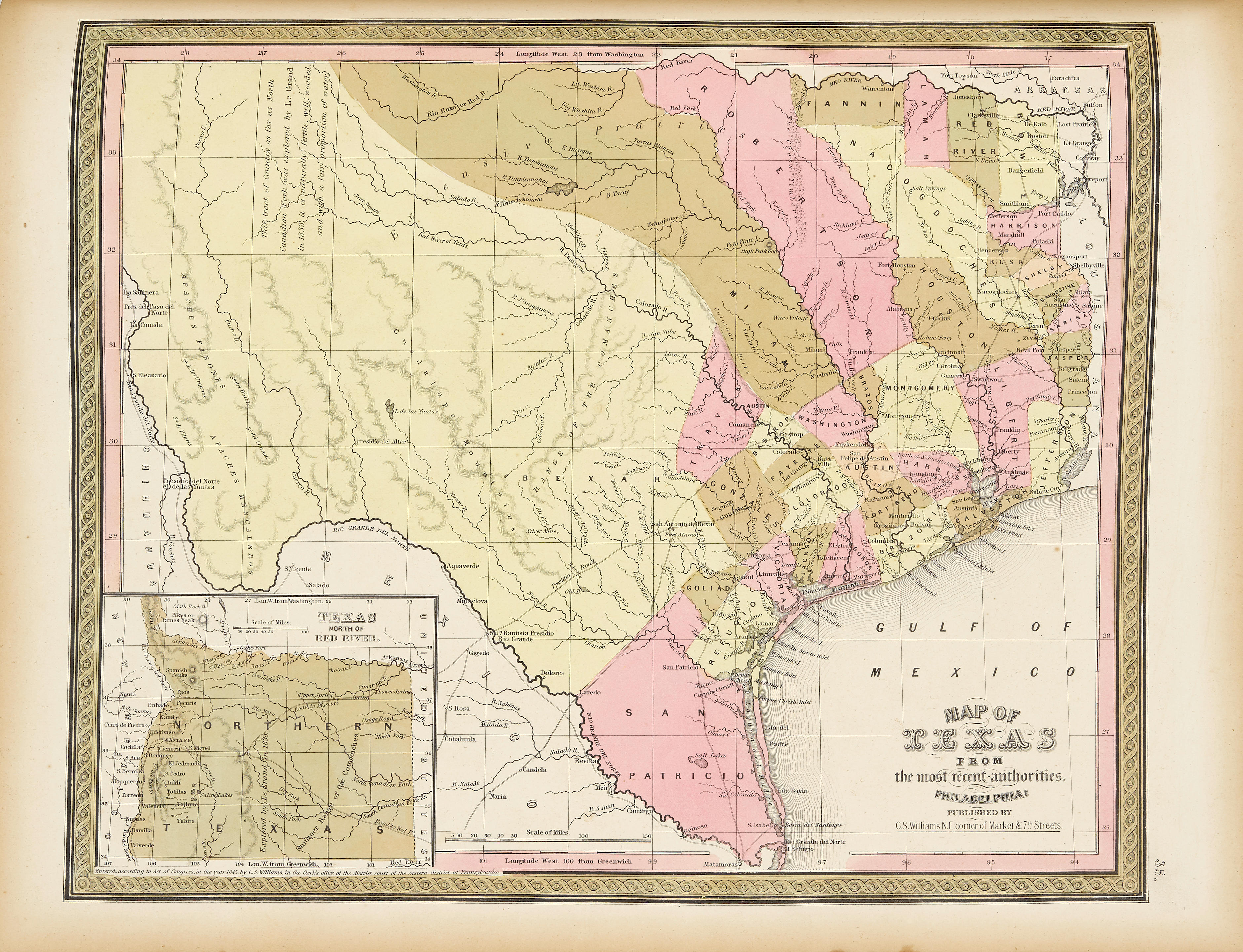
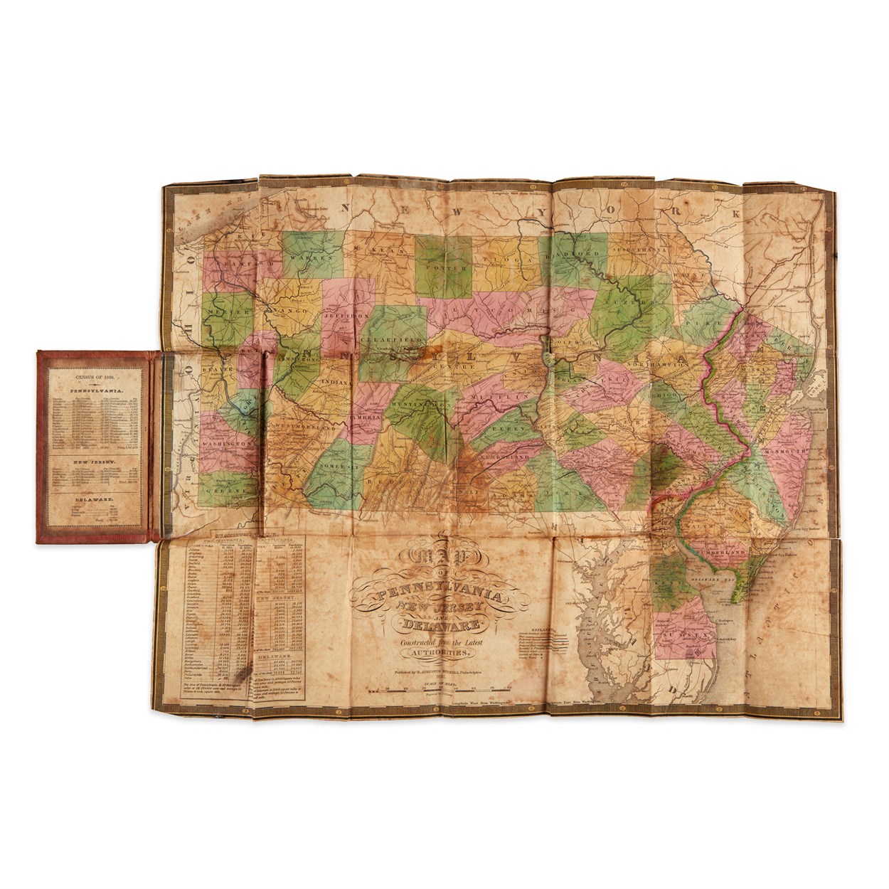
ATLASES] MITCHELL, AUGUSTUS S. A New Universal Atlas Containing Maps of the Various Empires, Kingdoms, States and Republics of the World . Philadelphia: Charles DeSilver, 1855. Original half-morocco over marbled boards, the upper cover with an elaborately tooled red morocco lettering label gilt reading "Mitchell's Universal Atlas" and imprinted with the name of the original owner Edwin Yerkes. 17 x 14 inches (43 x 36 cm); hand-colored frontispiece elevation map (plate 73), title and contents leaf printed in color with chromolithographed decoration, 72 hand-colored copper engraved maps (three double page). This copy includes the uncommon Cowperthwait first issue of the "New Map of Nebraska, Kansas, New Mexico, and Indian Territories," unnumbered following plate 37. Small loss to head of spine, joints worn with splits and small losses, other edgewear, some light toning, spotting and thumbsoiling, the maps clean overall. Mitchell had sold the publishing rights to his atlas in 1850 to the Cowperthwait company, who continued to alter and color the maps after it was sold to DeSilver. Phillips, Atlases, 6118. C
ATLASES] MITCHELL, AUGUSTUS S. A New Universal Atlas Containing Maps of the Various Empires, Kingdoms, States and Republics of the World . Philadelphia: Charles DeSilver, 1855. Original half-morocco over marbled boards, the upper cover with an elaborately tooled red morocco lettering label gilt reading "Mitchell's Universal Atlas" and imprinted with the name of the original owner Edwin Yerkes. 17 x 14 inches (43 x 36 cm); hand-colored frontispiece elevation map (plate 73), title and contents leaf printed in color with chromolithographed decoration, 72 hand-colored copper engraved maps (three double page). This copy includes the uncommon Cowperthwait first issue of the "New Map of Nebraska, Kansas, New Mexico, and Indian Territories," unnumbered following plate 37. Small loss to head of spine, joints worn with splits and small losses, other edgewear, some light toning, spotting and thumbsoiling, the maps clean overall. Mitchell had sold the publishing rights to his atlas in 1850 to the Cowperthwait company, who continued to alter and color the maps after it was sold to DeSilver. Phillips, Atlases, 6118. C


Testen Sie LotSearch und seine Premium-Features 7 Tage - ohne Kosten!
Lassen Sie sich automatisch über neue Objekte in kommenden Auktionen benachrichtigen.
Suchauftrag anlegen