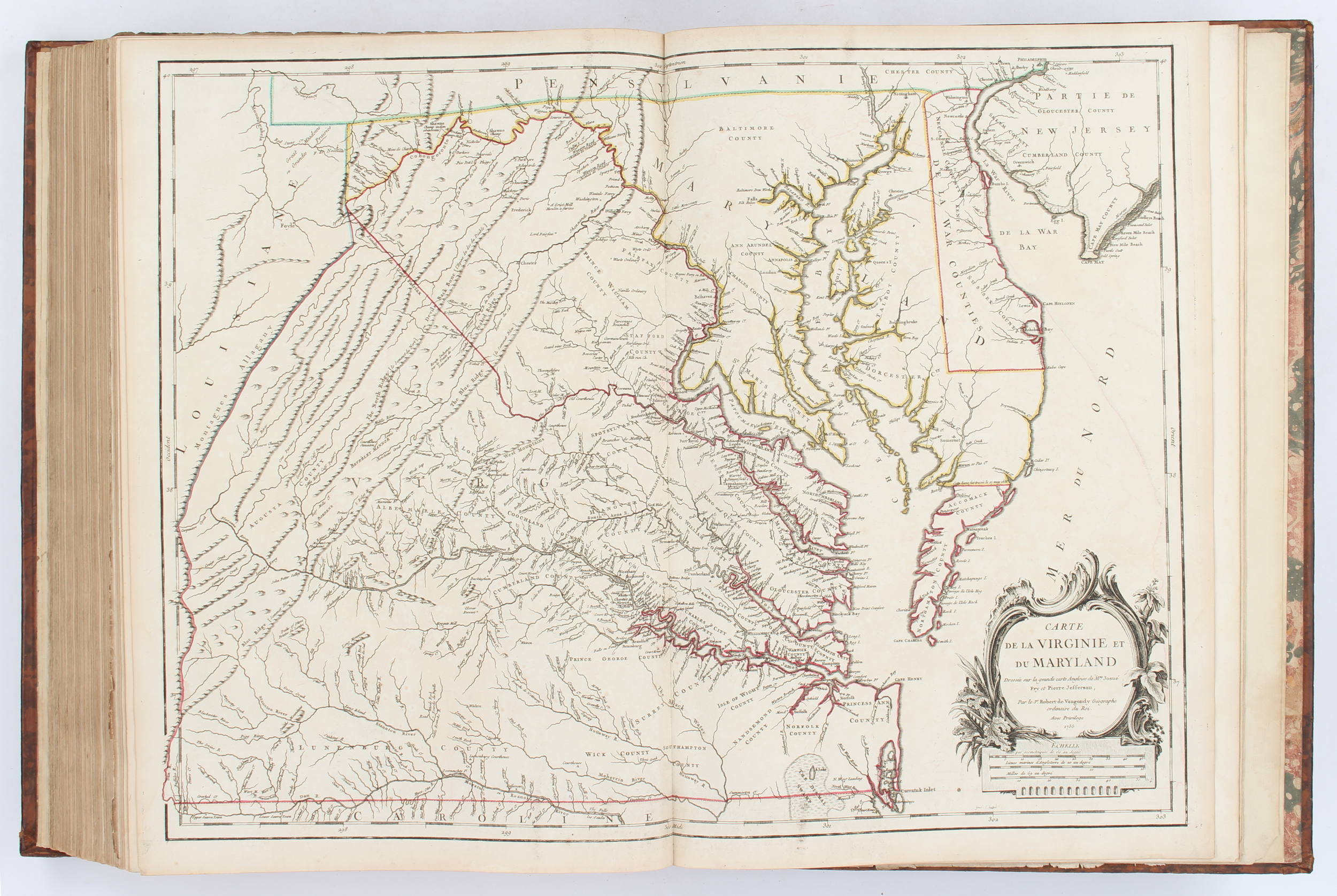
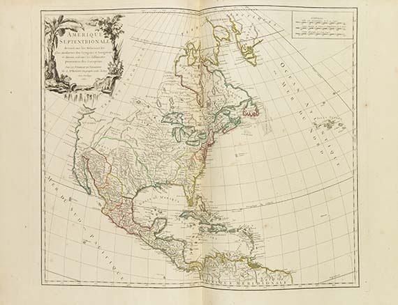
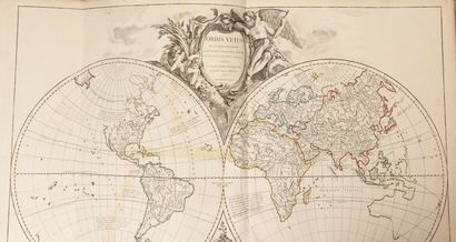
Atlases.- Robert de Vaugondy (Gilles and Didier) Atlas Universel, engraved title and 108 double-page engraved maps, hand-coloured in outline, cartouches and vignettes by Nicolas and Guillaume Sanson, Guillaume Delahaye, Pierre Francois Tardieu and Elisabeth Haussard, list of subscribers, contemporary calf, gilt borders to covers, spine with six raised bands and gilt-lettered red morocco label, g.e., folio, Paris, chez les Auteurs, Quai de l'Horloge du Palais: Boudet, libraire imprimeur du Roi, rue St. Jacques, 1757. ⁂ A very well preserved copy of the first edition of this famous atlas by Gilles Robert de Vaugondy (1688-1766) and his son Didier (1723- 1786), descendants of the celebrated French cartographer Nicolas Sanson Of the 108 maps, 12 cover the ancient world, while 96 are modern. Following Sanson's model, specifically his Cartes Générales de Toutes les Parties de Monde published in 1654, the Vaugondys also include streets, canals and postal routes in their maps. Special attention is paid to the Far East and to North America, especially to the areas discovered by French explorers, for which the two cartographers had access to the archive of the French Navy. The maps of India, China, Japan, Africa, Egypt, North America, Canada, Virginia, and Maryland are particularly accurate and include the latest information on the area. California and Australia are represented in their real shape. The edition was completed in 1758, as can be seen in plate 24 (Carte du Royaume de France). Beautifully designed too are the cartouches, "which attracted unanimous praise from critics" (Pedley, 64). NMM 266; Phillips Atlases I.619; Sabin, 71863; Pedley, 227: "their frequent use of eighteenth century sources, often from the 1740s, provided their atlas with up-to-date information. While their preference was for maps that bad been surveyed in the field and maps published in the region itself, they did not hesitate to turn to older sources when more recent maps were found to be lacking".
Atlases.- Robert de Vaugondy (Gilles and Didier) Atlas Universel, engraved title and 108 double-page engraved maps, hand-coloured in outline, cartouches and vignettes by Nicolas and Guillaume Sanson, Guillaume Delahaye, Pierre Francois Tardieu and Elisabeth Haussard, list of subscribers, contemporary calf, gilt borders to covers, spine with six raised bands and gilt-lettered red morocco label, g.e., folio, Paris, chez les Auteurs, Quai de l'Horloge du Palais: Boudet, libraire imprimeur du Roi, rue St. Jacques, 1757. ⁂ A very well preserved copy of the first edition of this famous atlas by Gilles Robert de Vaugondy (1688-1766) and his son Didier (1723- 1786), descendants of the celebrated French cartographer Nicolas Sanson Of the 108 maps, 12 cover the ancient world, while 96 are modern. Following Sanson's model, specifically his Cartes Générales de Toutes les Parties de Monde published in 1654, the Vaugondys also include streets, canals and postal routes in their maps. Special attention is paid to the Far East and to North America, especially to the areas discovered by French explorers, for which the two cartographers had access to the archive of the French Navy. The maps of India, China, Japan, Africa, Egypt, North America, Canada, Virginia, and Maryland are particularly accurate and include the latest information on the area. California and Australia are represented in their real shape. The edition was completed in 1758, as can be seen in plate 24 (Carte du Royaume de France). Beautifully designed too are the cartouches, "which attracted unanimous praise from critics" (Pedley, 64). NMM 266; Phillips Atlases I.619; Sabin, 71863; Pedley, 227: "their frequent use of eighteenth century sources, often from the 1740s, provided their atlas with up-to-date information. While their preference was for maps that bad been surveyed in the field and maps published in the region itself, they did not hesitate to turn to older sources when more recent maps were found to be lacking".


Testen Sie LotSearch und seine Premium-Features 7 Tage - ohne Kosten!
Lassen Sie sich automatisch über neue Objekte in kommenden Auktionen benachrichtigen.
Suchauftrag anlegen