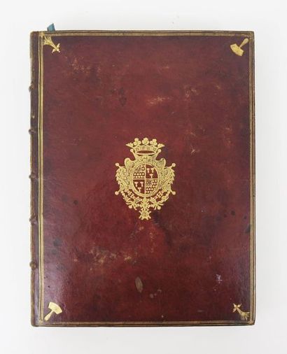
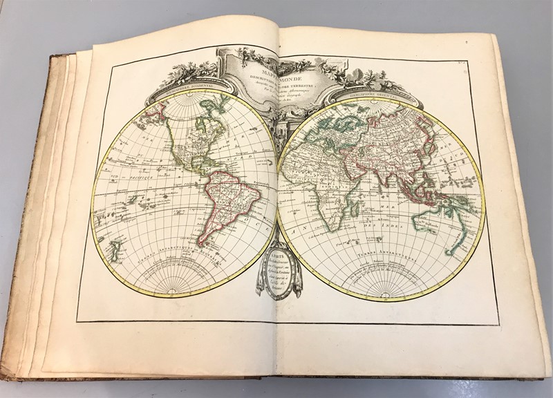
Atlas géographique contenant la mappemonde et les quatre parties, avec les différents états d'Europe. Paris, Lattré, 1762. 12º. Mit kolor. gestoch. Frontisp., kolor. gestoch. Titel von L. Legrand und 29 doppelblattgr. grenzkolor. Kupferstichkarten (ohne das gestoch. Inhaltsverzeichnis). Rotes Maroquin d. Zt. mit Rsch., Rvg., goldgepr. Deckelfileten, floralen Eckstücken sowie Steh- und Innenkantenvg. (leichte Altersspuren). (148)
Erste Ausgabe. – Pagliani, Atlas minor, 44 (31 Karten). – Vgl. Phillips 633 und 3507 (andere Ausg. mit 22 Karten auf 60 Blättern). – Die Karten sind numeriert von 1 bis 27 sowie 10 bis (Russie d’Europe) und 24 bis (La Pologne). Es gibt Exemplare ohne diese beiden nachträglich numerierten Karten und, wie von Pagliani beschrieben, mit zwei weiteren Zusatzkarten ([1 bis]: Sphère de Ptolomée, [7 bis]: Golfe de Mexique). – Enthält eine Weltkarte auf zwei Blättern (die östliche Hemisphäre mit Australien und Neu-Guinea auf einem Kontinent), fünf Erdteilkarten (Nordamerika noch ohne Alaska und das nördliche Kanada westlich der Hudson Bay) und 22 europäische Länder- und Gebietskarten. NACHGEB.: BONNE, (R.), Idée de la sphère, ou principes sur la géographie astronomique. Paris, o. Dr., 1763. 2 Bl., 55 S., 1, 4 Bl. (Anzeigen). – Minimal fleckig. First edition. – The maps are numbered from 1 to 27 as well as 10 bis (European Russia) and 24 bis (Poland). – Contains a world map on two leaves (the eastern hemisphere with Australia and New Guinea on one continent), five continent maps (North America still without Alaska and northern Canada west of the Hudson Bay) and 22 maps of European countries and regions. – Contemporary red morocco with spine label, gilt back, gilt stamped fillets on boards, floral corner pieces as well as gilt outside and interior edges (slight signs of wear).


Try LotSearch and its premium features for 7 days - without any costs!
Be notified automatically about new items in upcoming auctions.
Create an alert