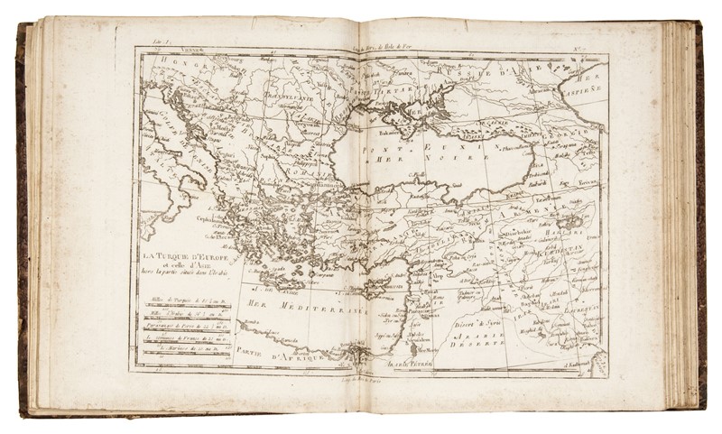
Atlas de toutes les parties connues du globe terrestre: Dressé pour l'Histoire philosophique et politique des établissmens et du commerce des Européens dans les deux Indes Author: Raynal, Guillaume Thomas François Place: [Genève] Publisher: Date: [1783?] Description: 22 pp. With 50 folding and/or double-page copper-engraved maps (numbered 1-49, with 17 bis). (4to) 25.5x20 cm. (10x7¾"), period quarter vellum & pastepaper boards. Important atlas volume to Raynal's esteemed work, "Histoire philosophique et politique des établissemens et du commerce des Européens dans les deux Indes." The maps are by Rigobert Bonne engraved by André and others. There are maps of the world, the European nations, and the myriad nations and states of the world with whom they conducted commerce. 25 of the maps related to America, north and south, including "Carte de la Partie Nord des Etats Unis, de l'Amerique Septentrionale," an early map of the recently minted United States. Some issues of the atlas have 22 folding tables, this copy does not. Lot Amendments Condition: Rubbing and wear to covers, rear joint splitting; moderate foxing, soiling, and a few light stains within, ownership signatures; very good. Item number: 301915
Atlas de toutes les parties connues du globe terrestre: Dressé pour l'Histoire philosophique et politique des établissmens et du commerce des Européens dans les deux Indes Author: Raynal, Guillaume Thomas François Place: [Genève] Publisher: Date: [1783?] Description: 22 pp. With 50 folding and/or double-page copper-engraved maps (numbered 1-49, with 17 bis). (4to) 25.5x20 cm. (10x7¾"), period quarter vellum & pastepaper boards. Important atlas volume to Raynal's esteemed work, "Histoire philosophique et politique des établissemens et du commerce des Européens dans les deux Indes." The maps are by Rigobert Bonne engraved by André and others. There are maps of the world, the European nations, and the myriad nations and states of the world with whom they conducted commerce. 25 of the maps related to America, north and south, including "Carte de la Partie Nord des Etats Unis, de l'Amerique Septentrionale," an early map of the recently minted United States. Some issues of the atlas have 22 folding tables, this copy does not. Lot Amendments Condition: Rubbing and wear to covers, rear joint splitting; moderate foxing, soiling, and a few light stains within, ownership signatures; very good. Item number: 301915


.jpg)


Testen Sie LotSearch und seine Premium-Features 7 Tage - ohne Kosten!
Lassen Sie sich automatisch über neue Objekte in kommenden Auktionen benachrichtigen.
Suchauftrag anlegen