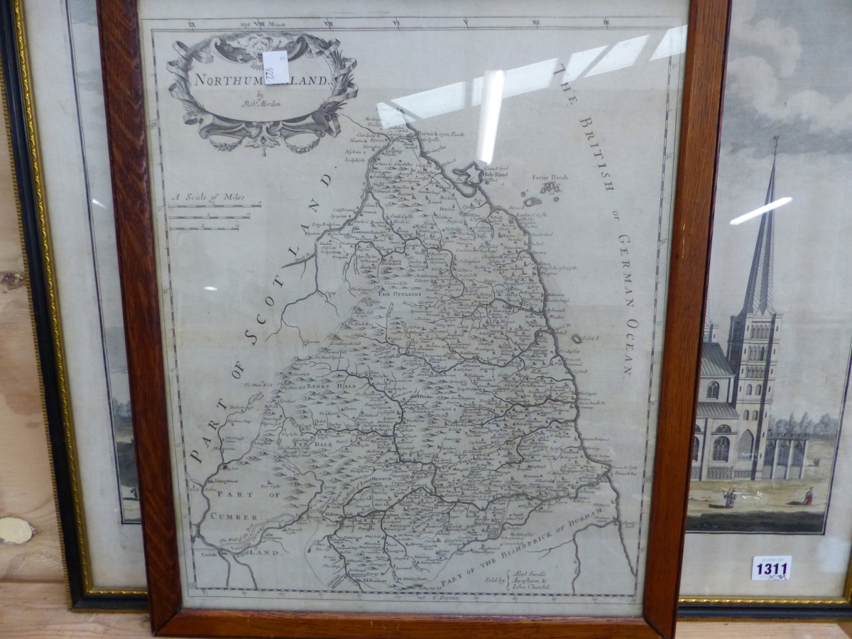
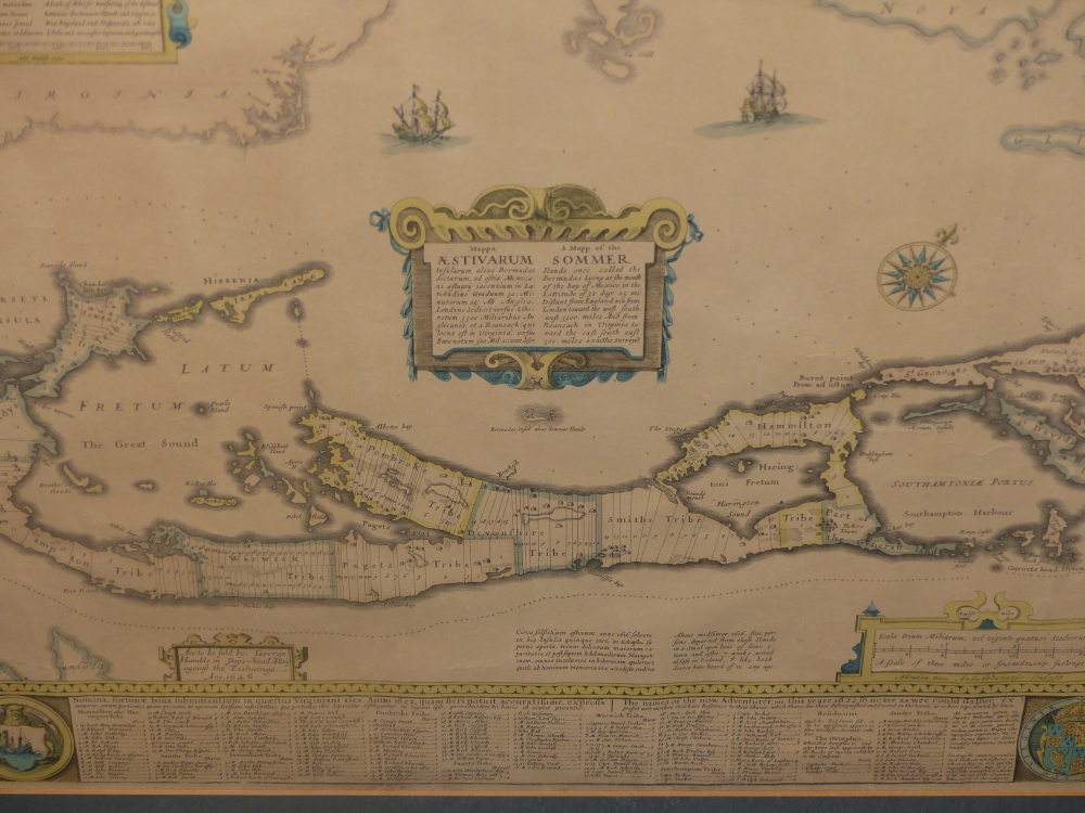
An antique map of the British Isles. Homann (Johann Baptist), Magna Britannia Complectens Angliae Scotiae et Hiberniae, published Nuremberg, circa 1740, engraved map with hand colouring, framed and glazed, 18.75" x 22.25", a/f crack in glass top left hand corner.
An antique map of the British Isles. Homann (Johann Baptist), Magna Britannia Complectens Angliae Scotiae et Hiberniae, published Nuremberg, circa 1740, engraved map with hand colouring, framed and glazed, 18.75" x 22.25", a/f crack in glass top left hand corner.


Testen Sie LotSearch und seine Premium-Features 7 Tage - ohne Kosten!
Lassen Sie sich automatisch über neue Objekte in kommenden Auktionen benachrichtigen.
Suchauftrag anlegen