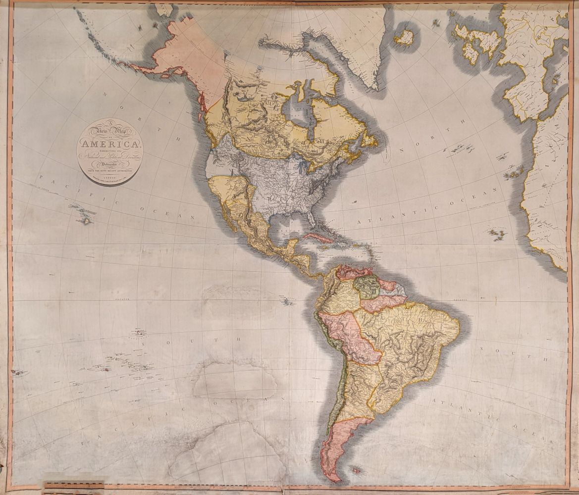
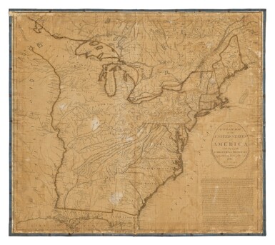
America.- Cary (John) A group of 5 maps of North America from Cary's 'New Universal Atlas', including: A New Map of the United States of America; A New Map of North America from the latest authorities; A New Map of Part of the United States of North America, containing those of New York, Vermont [...]; A New Map of Part of the United States of North America, containing the Carolinas and Georgia [...]; A New Map of Part of the United States of North America, all double-page detailed maps, engravings with hand-colouring, all on wove paper, some with watermark dates '1806', each sheet approx. 545 x 640 mm. (21 1/2 x 25 1/4 in), all with central vertical folds as issued, minor spotting and offsetting, some minor handling creases and surface dirt, all unframed, 1805-1806 (5).
America.- Cary (John) A group of 5 maps of North America from Cary's 'New Universal Atlas', including: A New Map of the United States of America; A New Map of North America from the latest authorities; A New Map of Part of the United States of North America, containing those of New York, Vermont [...]; A New Map of Part of the United States of North America, containing the Carolinas and Georgia [...]; A New Map of Part of the United States of North America, all double-page detailed maps, engravings with hand-colouring, all on wove paper, some with watermark dates '1806', each sheet approx. 545 x 640 mm. (21 1/2 x 25 1/4 in), all with central vertical folds as issued, minor spotting and offsetting, some minor handling creases and surface dirt, all unframed, 1805-1806 (5).


Try LotSearch and its premium features for 7 days - without any costs!
Be notified automatically about new items in upcoming auctions.
Create an alert