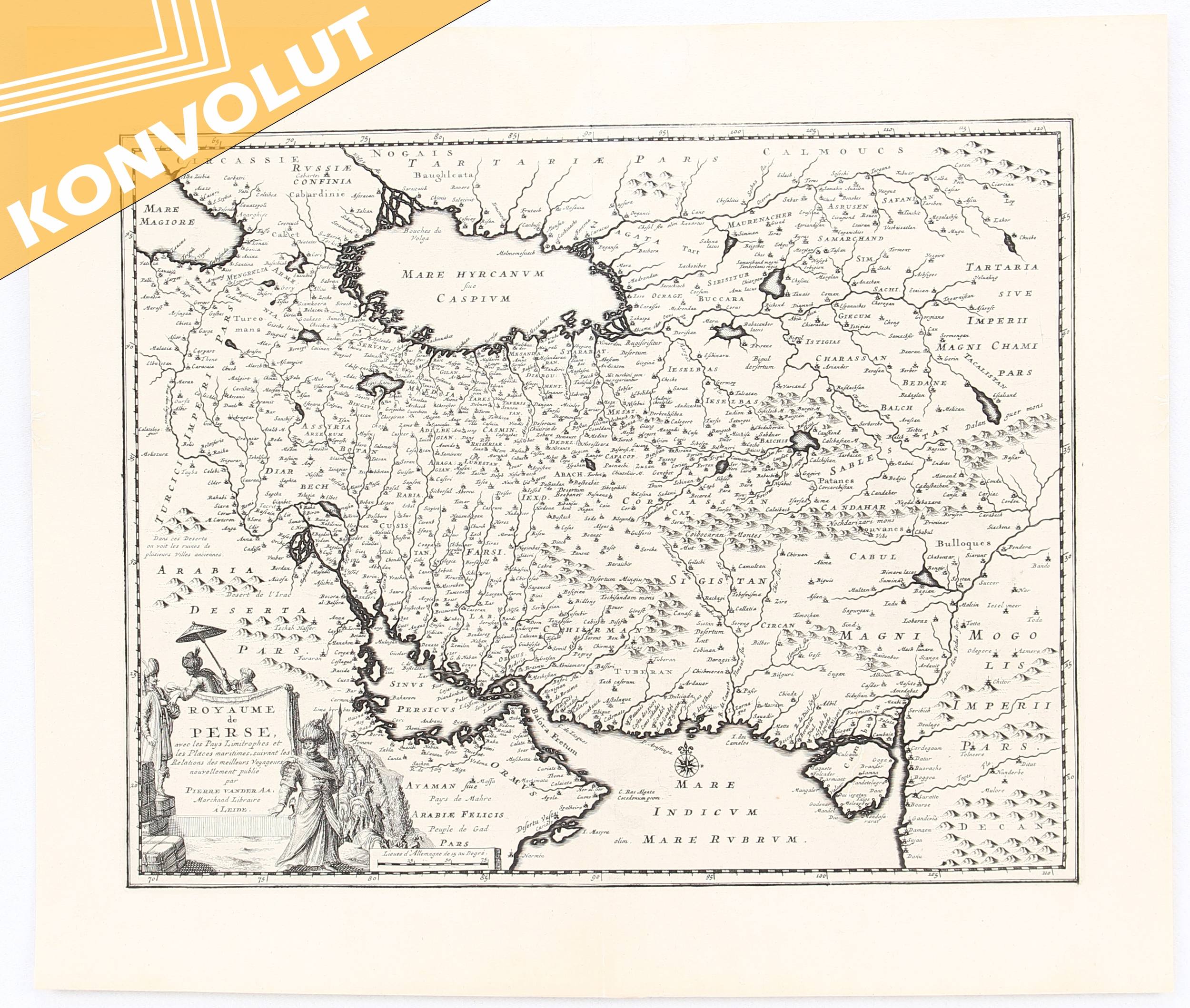
Aa (Pieter van der) Royaume de Perse, avec les Pay Persia from the Black Sea to the Persian Gulf, with title vignette of Persian nobility and camel train, lower left, engraved map, 280 x 350mm., central vertical fold, Leiden, [1719] ? Bonne (Rigobert) Carte de l'Arabie, du Golfe Persique, et de la Mer Rouge, engraved map with hand-colouring in outline, 220 x 330mm., central vertical fold, Paris, c.1788 ? Bellin (J.N.) Carte de la Coste d'Arabie, Mer Rouge et Golfe de Perse, engraved map, 225 x 255mm., central vertical fold, Paris, 1740; with the same map, but with variant, issued by Jacob van der Schley, c.1755; with the colour-printed map of Arabia from the ninth edition of Encyclop?dia Britannica, 1875 ? Cassini (Giovanni Maria); Gli Imperi Antichi; scarce map of the Middle East, with the Eastern Mediterranean, with title vignette of a man-eating crocodile, lower left, engraved map with original hand-colouring in outline, 505 x 370mm., central horizontal fold, full margins with a faint dampstain at upper and lower sheet edges, Rome, 1800.(5)
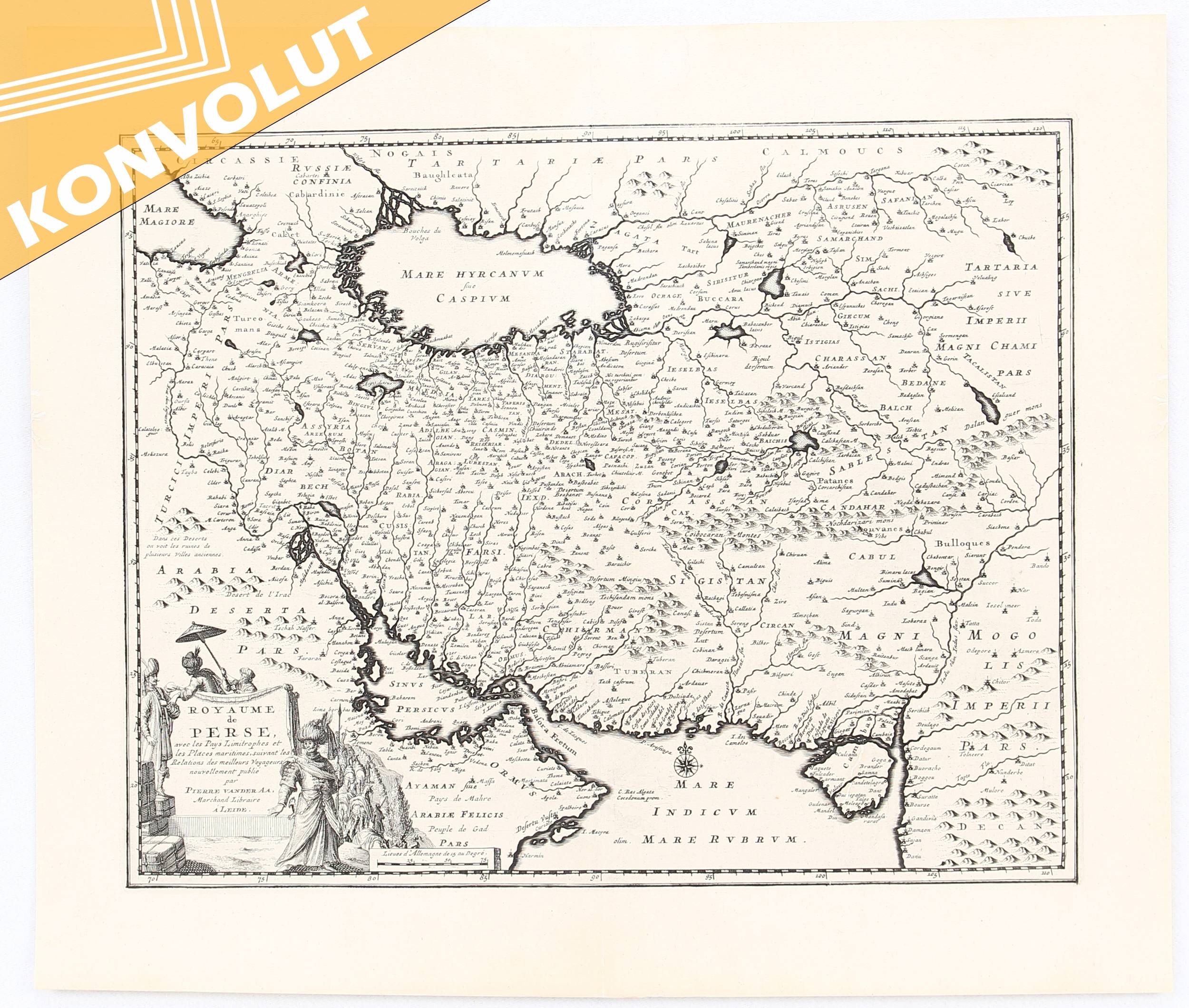
Aa (Pieter van der) Royaume de Perse, avec les Pay Persia from the Black Sea to the Persian Gulf, with title vignette of Persian nobility and camel train, lower left, engraved map, 280 x 350mm., central vertical fold, Leiden, [1719] ? Bonne (Rigobert) Carte de l'Arabie, du Golfe Persique, et de la Mer Rouge, engraved map with hand-colouring in outline, 220 x 330mm., central vertical fold, Paris, c.1788 ? Bellin (J.N.) Carte de la Coste d'Arabie, Mer Rouge et Golfe de Perse, engraved map, 225 x 255mm., central vertical fold, Paris, 1740; with the same map, but with variant, issued by Jacob van der Schley, c.1755; with the colour-printed map of Arabia from the ninth edition of Encyclop?dia Britannica, 1875 ? Cassini (Giovanni Maria); Gli Imperi Antichi; scarce map of the Middle East, with the Eastern Mediterranean, with title vignette of a man-eating crocodile, lower left, engraved map with original hand-colouring in outline, 505 x 370mm., central horizontal fold, full margins with a faint dampstain at upper and lower sheet edges, Rome, 1800.(5)


Testen Sie LotSearch und seine Premium-Features 7 Tage - ohne Kosten!
Lassen Sie sich automatisch über neue Objekte in kommenden Auktionen benachrichtigen.
Suchauftrag anlegen