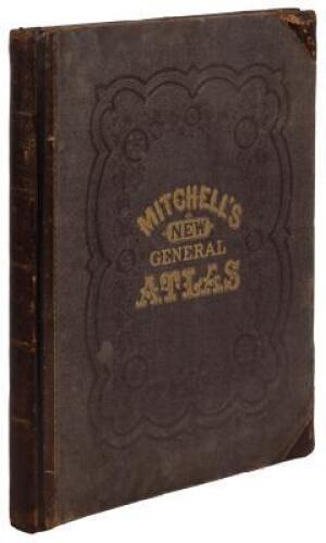
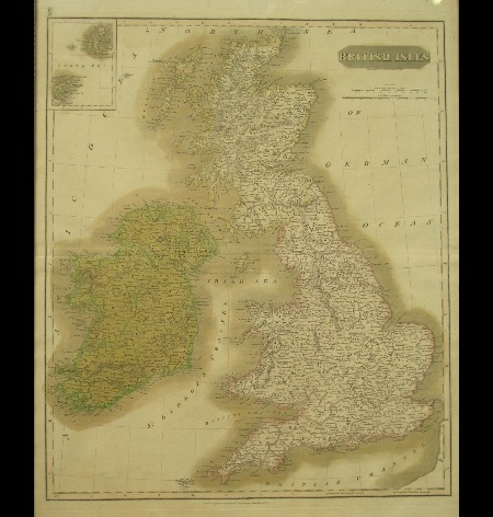
Title: A New General Atlas, Comprising a Complete Set of Maps, Representing the Grand Divisions of the Globe, Together with the Several Empires, Kingdoms and States in the World; Compiled from the Best Authorities, and Corrected by the Most Recent Discoveries Author: Finley, Anthony Place: Philadelphia Publisher: Anthony Finley Date: 1831 Description: [6] pp. 60 hand-colored engraved maps, including 3 double-page + 2 colored graphs. (Imperial 4to) 35x28 cm. (14x11") original three-quarter red morocco and marbled boards, paper label on front, original owner's name (Hervey Lyon) lettered in gilt on morocco label mounted to front board. Publisher's label inside front cover advertising this work and others, dated Philadelphia, 1831. Includes double page maps of New York, Pennsylvania, and Virginia. Also new maps of Florida and Liberia, as well as a separate map of Delaware A review of the 1824 first edition, applies well to all editions of this atlas. "The number of elegant maps and atlases which have come from the press within a short time in the United States, is a most flattering proof of increased attention of the community to the important study of geography. The present work contains sixty maps, about half of which are devoted to the American continent [30 in the present edition], and the remainder to other parts of the world, chiefly to Europe. The engraving is done almost uniformly with remarkable distinctness and the face of the maps is frequently beautiful, not overloaded with a confusion of useless names" (North American Review, July 1824, pp.261-262). The printing plates were subsequently purchased by S.A. Mitchell, who brought out new revised editions under his own name from 1831. The maps show one state to a sheet, and were among the best of the period. Lot Amendments Condition: Front cover detached, extremities rubbed; some chipping to edges of title leaf and contents leaf; some occasional light soiling to maps but overall very good or better and with bright colors. Item number: 223642
Title: A New General Atlas, Comprising a Complete Set of Maps, Representing the Grand Divisions of the Globe, Together with the Several Empires, Kingdoms and States in the World; Compiled from the Best Authorities, and Corrected by the Most Recent Discoveries Author: Finley, Anthony Place: Philadelphia Publisher: Anthony Finley Date: 1831 Description: [6] pp. 60 hand-colored engraved maps, including 3 double-page + 2 colored graphs. (Imperial 4to) 35x28 cm. (14x11") original three-quarter red morocco and marbled boards, paper label on front, original owner's name (Hervey Lyon) lettered in gilt on morocco label mounted to front board. Publisher's label inside front cover advertising this work and others, dated Philadelphia, 1831. Includes double page maps of New York, Pennsylvania, and Virginia. Also new maps of Florida and Liberia, as well as a separate map of Delaware A review of the 1824 first edition, applies well to all editions of this atlas. "The number of elegant maps and atlases which have come from the press within a short time in the United States, is a most flattering proof of increased attention of the community to the important study of geography. The present work contains sixty maps, about half of which are devoted to the American continent [30 in the present edition], and the remainder to other parts of the world, chiefly to Europe. The engraving is done almost uniformly with remarkable distinctness and the face of the maps is frequently beautiful, not overloaded with a confusion of useless names" (North American Review, July 1824, pp.261-262). The printing plates were subsequently purchased by S.A. Mitchell, who brought out new revised editions under his own name from 1831. The maps show one state to a sheet, and were among the best of the period. Lot Amendments Condition: Front cover detached, extremities rubbed; some chipping to edges of title leaf and contents leaf; some occasional light soiling to maps but overall very good or better and with bright colors. Item number: 223642


Try LotSearch and its premium features for 7 days - without any costs!
Be notified automatically about new items in upcoming auctions.
Create an alert