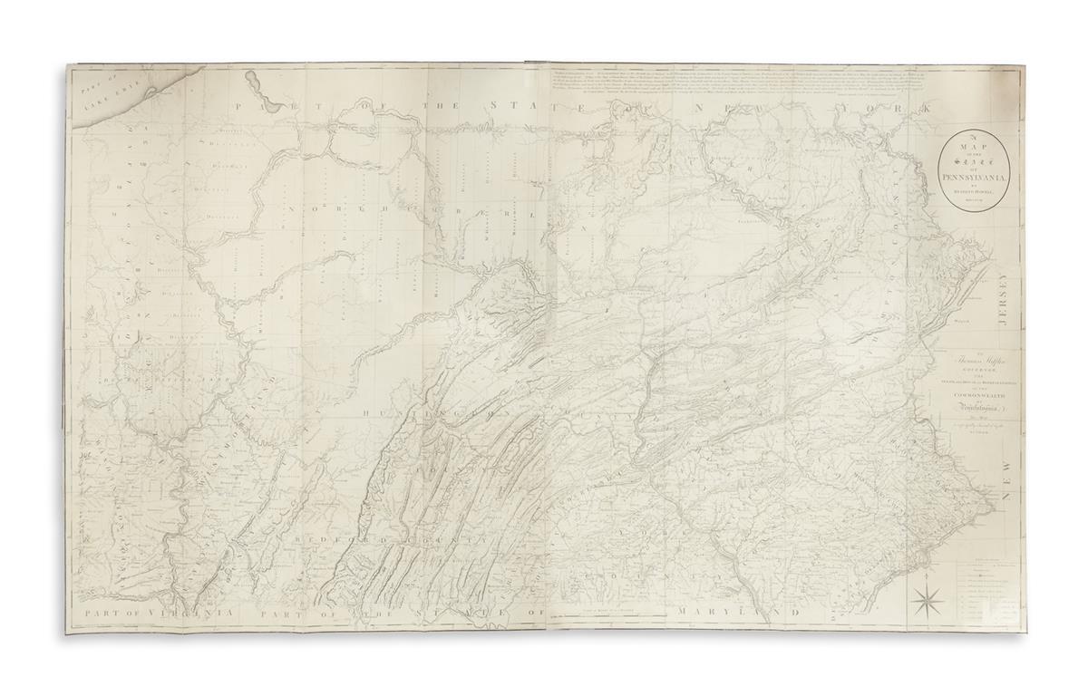
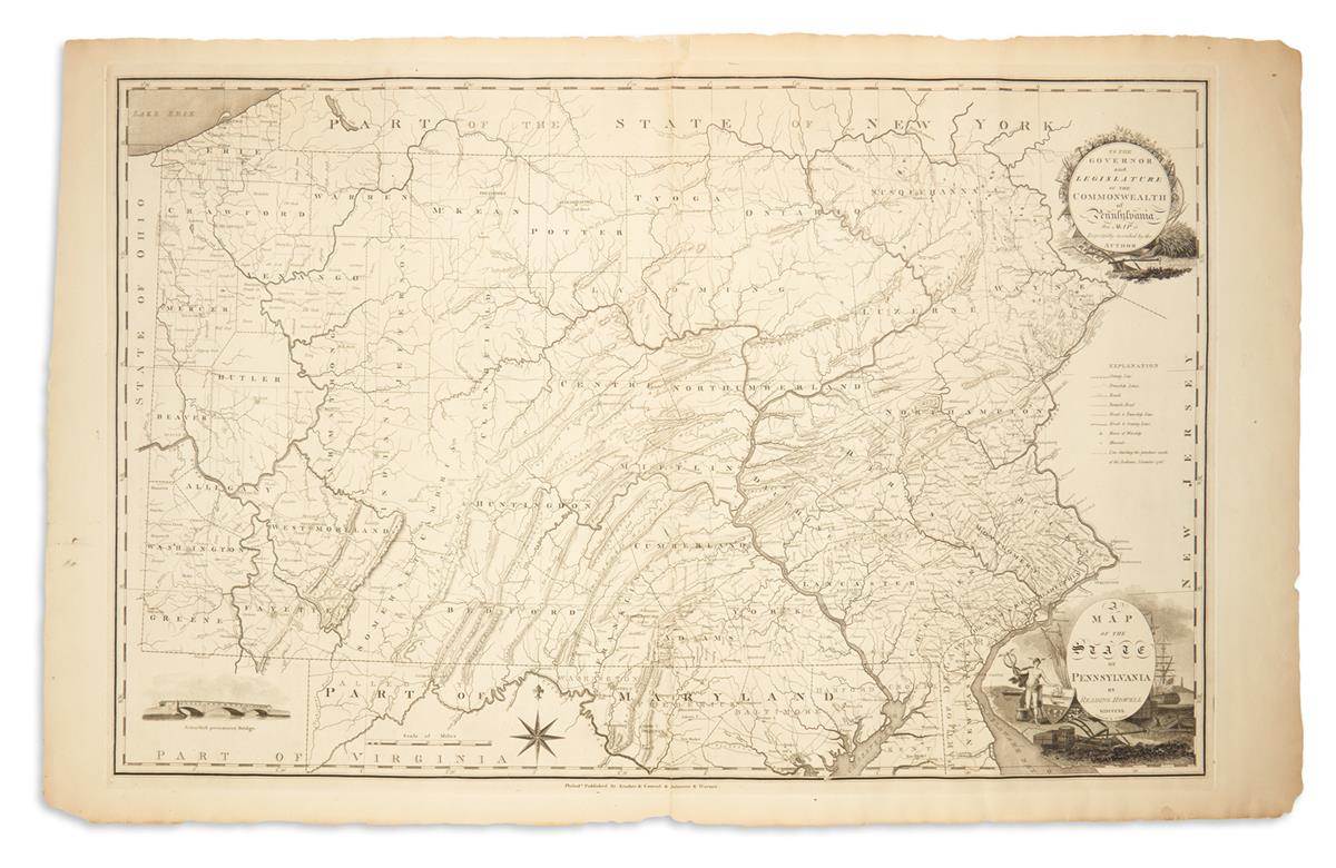
A Map of the State of Pennsylvania. [Philadelphia]: 1810. Hand-colored engraved map, 545 x 865 mm, folding, in 18 sections on original linen mount. Few minor spots, small stain in Cumberland County. A fine, large and attractively colored example of one of the most important maps of Pennsylvania. Howell's first edition of 1792 was the first large format map of Pennsylvania published in America following the Revolution and considered by Wheat & Brun to be the best of the 18th century. This edition features a vignette of the newly constructed "Schuylkill permanent bridge," the first covered bridge in America; and a large decorative cartouche.
A Map of the State of Pennsylvania. [Philadelphia]: 1810. Hand-colored engraved map, 545 x 865 mm, folding, in 18 sections on original linen mount. Few minor spots, small stain in Cumberland County. A fine, large and attractively colored example of one of the most important maps of Pennsylvania. Howell's first edition of 1792 was the first large format map of Pennsylvania published in America following the Revolution and considered by Wheat & Brun to be the best of the 18th century. This edition features a vignette of the newly constructed "Schuylkill permanent bridge," the first covered bridge in America; and a large decorative cartouche.





Testen Sie LotSearch und seine Premium-Features 7 Tage - ohne Kosten!
Lassen Sie sich automatisch über neue Objekte in kommenden Auktionen benachrichtigen.
Suchauftrag anlegen