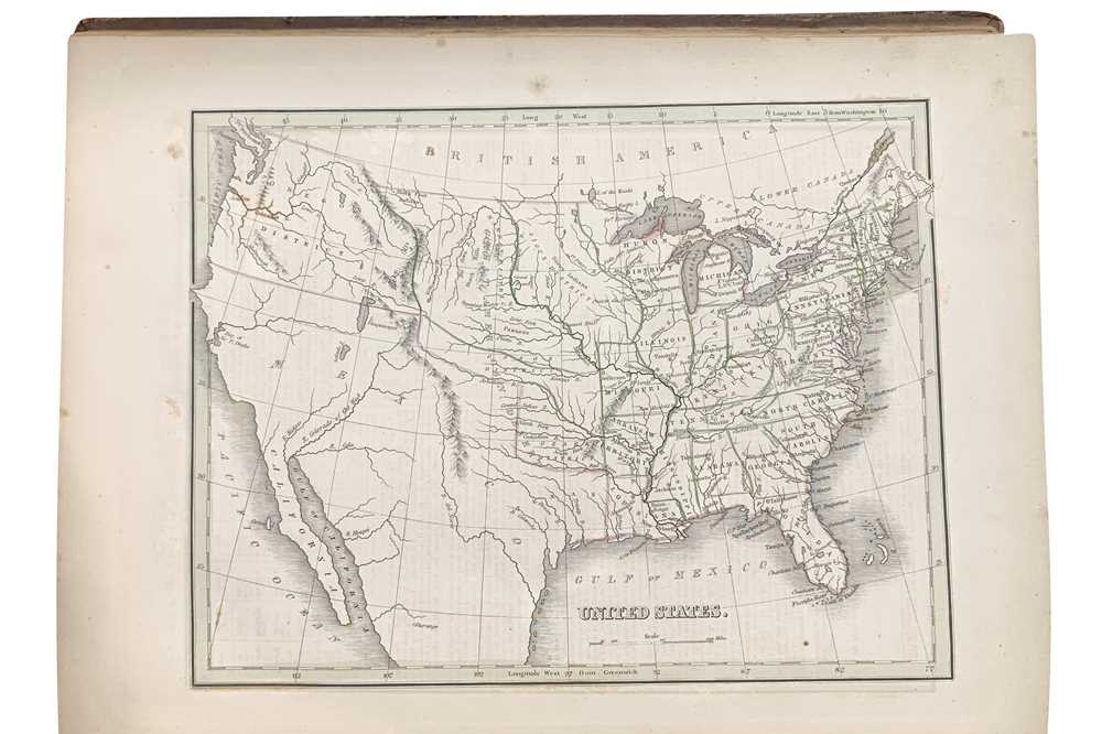
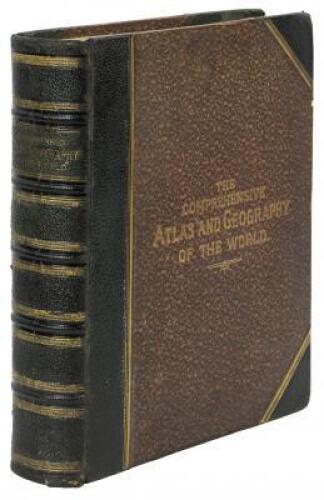
Title: A Comprehensive Atlas Geographical, Historical & Commercial Author: Bradford, T[homas] G[amaliel] Place: Boston / New York / Philadelphia Publisher: William D. Ticknor / Wiley & Long / T.T. Ash Date: [1835] Description: With 63 engraved maps with hand-colored outlines; 3 engraved plates with hand-colored borders (one with 15 U.S. city maps, one with 6 maps and one with 4 maps of major cities from around world); 10 engraved plates (3 with some hand-coloring and 2 with several vignettes); hand-colored frontispiece with tissue-guard; and a pictorially engraved title page. (4to) 12¾x10, half leather and marbled boards, re-backed with original gilt-lettered spine laid down. Including 28 full-page maps of the Americas, most pertaining to the United States. Map of the United States shows the Oregon District, but the Southwest portion including Texas shown as still belonging to Mexico (Texas and “R. Colorado of the West” named), the San Francisco Bay shown as “Bay of Sir F. Drake”. Many separate state maps; Michigan has Michilimackinac land as the portion north of Saginaw Bay; plus maps from around the world, including the continents, hemisphere maps, etc. This copy with ownership signature on title-page of Henry Y. Barnes of Montepelier, Vermont, dated December 1835. Phillips Atlases 770. Lot Amendments Condition: Rubbed extremities, corners showing, early bookplate of William A. Larned on front pastedown; light marginal foxing; very good. Item number: 249546
Title: A Comprehensive Atlas Geographical, Historical & Commercial Author: Bradford, T[homas] G[amaliel] Place: Boston / New York / Philadelphia Publisher: William D. Ticknor / Wiley & Long / T.T. Ash Date: [1835] Description: With 63 engraved maps with hand-colored outlines; 3 engraved plates with hand-colored borders (one with 15 U.S. city maps, one with 6 maps and one with 4 maps of major cities from around world); 10 engraved plates (3 with some hand-coloring and 2 with several vignettes); hand-colored frontispiece with tissue-guard; and a pictorially engraved title page. (4to) 12¾x10, half leather and marbled boards, re-backed with original gilt-lettered spine laid down. Including 28 full-page maps of the Americas, most pertaining to the United States. Map of the United States shows the Oregon District, but the Southwest portion including Texas shown as still belonging to Mexico (Texas and “R. Colorado of the West” named), the San Francisco Bay shown as “Bay of Sir F. Drake”. Many separate state maps; Michigan has Michilimackinac land as the portion north of Saginaw Bay; plus maps from around the world, including the continents, hemisphere maps, etc. This copy with ownership signature on title-page of Henry Y. Barnes of Montepelier, Vermont, dated December 1835. Phillips Atlases 770. Lot Amendments Condition: Rubbed extremities, corners showing, early bookplate of William A. Larned on front pastedown; light marginal foxing; very good. Item number: 249546


Try LotSearch and its premium features for 7 days - without any costs!
Be notified automatically about new items in upcoming auctions.
Create an alert